- Palau
Palau
Palau country profile
BACKGROUND
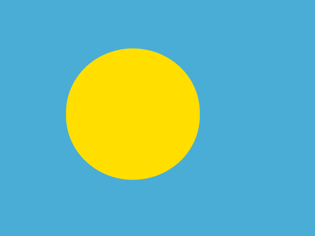
The Republic of Palau is a microstate consisting of an archipelago of 586 islands located in the Western Pacific Ocean. The majority of its 18,000 populous lives on the islands of Koror, Babelthuap, Angaur, and Peleliu. Palau receives funding and provision of social services from the United States as an officially freely associated state through the Compact of Free Association. Its economy is based on tourism, subsistence agriculture and fishing sectors.
Palau has a tropical rainforest climate. It is hot and humid, with mean daily air temperatures at around 28°C and average relative humidity of 82 per cent. There is very little seasonal variation in temperature. Rainfall can vary between years as a result of the El Niño Southern Oscillation (ENSO). El Niño years are drier and La Niña years are on average wetter. The country lies on the edge of the Pacific typhoon belt, so although tropical disturbances develop frequently near Palau, the impact of tropical cyclones is quite rare. The country’s main climate-related vulnerabilities relate to its coastal and marine areas. It is vulnerable to high tides, coastal erosion, sea-level rise, an increase in drought and storm activity, and coral bleaching. Given that a majority of its population, infrastructure and cultural sites are located on the coast, it is particularly exposed to storm surges and an increase in extreme weather events.
INFORM RISK INDEX (2022)
Hazard and exposure: 1.7 | Vulnerability: 3.2 | Lack of coping capacity: 4.0 | Total: 2.8 (low) | Rank: 122
HAZARDS COVERED BY ANTICIPATION
Cyclone/Typhoon/Hurricane
EXPERIENCE ON ANTICIPATION
- In 2022, IFRC and the Climate Centre published new research on early warning and early action for typhoons in Palau. The study’s findings will help shape the Green Climate Fund programme and help prepare the ground for new Early Action Protocols (EAPs).