Annex III: Key Impact Profiles for Yemen
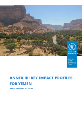
This report presents a detailed impact profile of flood risk in Marib and Hadhramaut, aimed at informing anticipatory action planning. It draws on four decades of disaster data, remote sensing, spatial flood mapping, community vulnerability assessments, and climate modeling to assess exposure across sectors—population, housing, agriculture, and infrastructure.
Publish Date
December 23, 2025
Resource Type
PDF, 615.21 KB
Year
2025
Country
Yemen
Region
MENA
Content Type
Report
Thematic Area
Technology
 Drought / dry spell