Categories

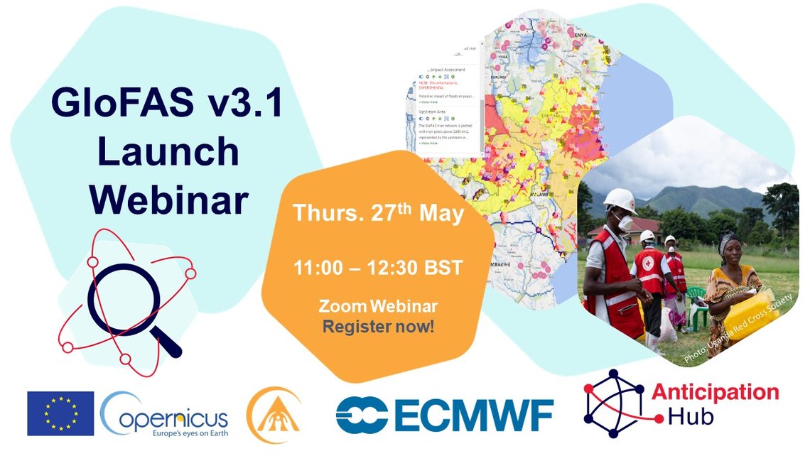
GloFAS v3.1 Launch: Webinar 27th May - Register now
This webinar will officially launch the next operational release (version 3.1) of the Global Flood Awareness System (GloFAS) of the Copernicus Emergency Management Service - an important web service for global hydrological forecasting and monitoring that supports anticipatory action.
To highlight the importance of bridging the latest advances in science with applications on the ground, this webinar is co-hosted by the Copernicus Emergency Management Service, ECMWF, the Joint Research Centre (JRC) and the Anticipation Hub.
Join us to learn more about:
- A brief introduction to GloFAS - by the Joint Research Centre
- ‘What is new in GloFAS v3.1?’ including information about the new modelling system (by JRC), calibration of model, enhancement of products, and availability of data and forecasts - by ECMWF and JRC
- Applications of GloFAS to support Forecast-based Financing/ anticipatory action plus an introduction to the Anticipation Hub - by the Red Cross Red Crescent Climate Centre / University of Reading
- Interactive discussion and Q&A
- Optional 30 min session on GloFAS products/services - by ECMWF
Click HERE to register to join the session.
DATE
27th May 2021
TIME
11:00 - 12:30 BST | 12:00 - 13:30 CEST
CO-HOSTS
Copernicus Emergency Management Service, ECMWF, Joint Research Centre and the Anticipation Hub
REGISTER
Register for the Zoom Webinar here
AUDIENCE
We welcome scientists, practitioners and policymakers across disciplines to come and learn more about GloFAS and its application for anticipatory action.
RECORDING
You can access the recording of the webinar here.
Photo credit: URCS-IFRC-Climate Centre
What is GloFAS and what is changing?
The Global Flood Awareness System (GloFAS) is an operational, freely accessible web service for global hydrological forecasting and monitoring, run as part of the Copernicus Emergency Management Service (CEMS). The CEMS Early Warning and Monitoring component supports the preparedness and emergency response at the European and global level, through the provision of early warning, risk and impact assessment, and monitoring of specific natural hazards – namely floods, forest fires and droughts – through publicly accessible on-line services. The new version of GloFAS v3.1 will be released on May 26th 2021 and will include the following features and new products:
- New system based on the open-source LISFLOOD model
- Updates of the reporting points and rapid risk assessment layers
- New layers on modelling skill
- Availability of both operational (GloFAS v3.1) and legacy (GloFAS v2.2) forecasts in parallel
During the webinar you will have the opportunity to learn about GloFAS development, ask questions, and join an optional additional session with the scientists behind the GloFAS products and services.
How has GloFAS been used to support anticipatory action?
The global hydrological forecast information available through GloFAS has been used to support decision-making to compliment national-level hydrological forecasts with longer-lead times and probabilistic predictions, as well as to provide an interim forecasting system where national systems are not available. This forecast information has been used by scientists and practitioners to co-develop ‘triggers’ and protocols for early action. In Uganda GloFAS was used to trigger Forecast-based Action by the Uganda Red Cross Society enabling them to act-early by distributing preparedness items ahead of the impact of floods (Read more here and in a recent blog on the Anticipation Hub here). In Bangladesh the GloFAS 10-day probabilistic forecasts were used alongside those from the national Flood Forecasting and Warning Centre to trigger the United Nations Central Emergency Response Fund (CERF) in 2020 - read more here.
During the webinar, participants can learn more about how and where GloFAS is currently being used for anticipatory action, and the work currently underway to test and validate this new model version for these applications.

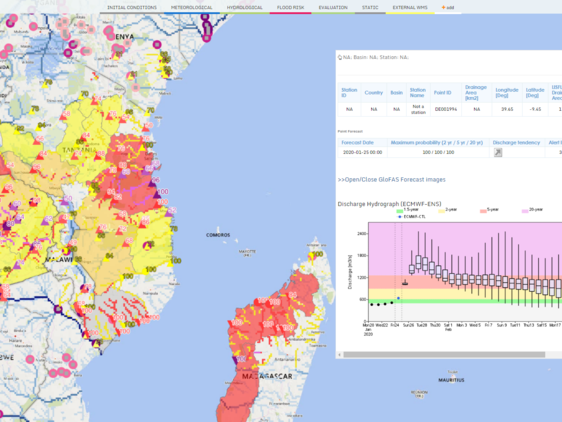
GloFAS interface.

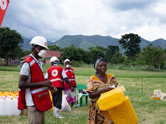
The Uganda Red Cross Society supports communities around Uganda’s western Rwenzori mountains (mainly Kasese district) by acting early ahead of the May 2020 flood impact, distributing food and non-food items. Photo by: URCS-IFRC-Climate Centre, Denis Onyodi

GloFAS interface.
The Uganda Red Cross Society supports communities around Uganda’s western Rwenzori mountains (mainly Kasese district) by acting early ahead of the May 2020 flood impact, distributing food and non-food items. Photo by: URCS-IFRC-Climate Centre, Denis Onyodi
